

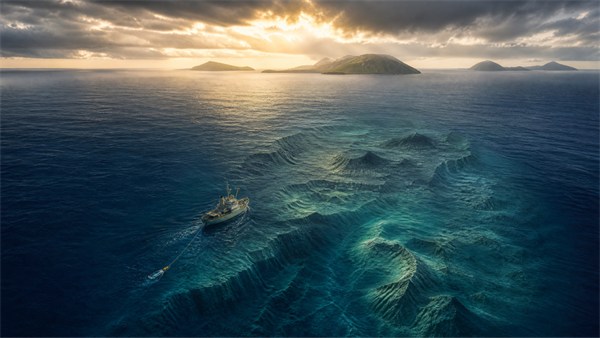
In 1947, a research ship named Atlantis crossed the Mid-Atlantic Ridge carrying a new instrument capable of drawing the ocean floor as it sailed. What it recorded was not a featureless abyss but a vast mountain system, terraced flanks resembling drowned shorelines, and sediment that appeared to have formed in the open air. Subsequent cores reportedly recovered rounded sand from miles below the surface and hundreds of miles from land. The orthodox explanation is complex, rooted in mantle plumes, plate boundaries, volcanism, and long-term subsidence. But Joe O’Donoghue asks a simpler - and far more unsettling - question: if this enormous plateau was once above water, could the Azores be the last visible summits of a lost Atlantic landmass?
About This Series
This is the fourth and final instalment of Joe O’Donoghue’s geological investigation of the Atlantis tradition. Part 1 considered whether Plato’s description corresponds to the Azores; Part 2 examined the drowned landscapes and coarse flood deposits of Greece and the Aegean; and Part 3 focused on the Acropolis and the geological record of the Athens Basin. This final article moves from land to the ocean floor, examining the Azores Plateau and the Mid-Atlantic Ridge through the evidence reported by twentieth-century oceanographic surveys.
The Azores Plateau: An Oceanographic Enigma
Oceanography, as a discipline, commenced in the mid-nineteenth century with seafloor surveys in advance of telegraph cable laying. The information obtained surprised many scientists, who had, up till then, considered the ocean floor to be a vast featureless plain, while the depths were considered to be pitch-dark and lifeless. As far as the Atlantic goes, the features of most interest at first were the Mid-Atlantic Ridge and the surrounding continental slopes, and many surveys and exploration programs were conducted.
However, and as to be expected, the sounding and sampling equipment was generally primitive at first, but great improvement had been made during and after World War Two. One of the first post-war cruises was carried out in 1947 by Maurice Ewing of Columbia University in collaboration with the Woods Hole Oceanographic Institute of Massachusetts, aboard a ship named the “Atlantis,” of all things, and this cruise and another the following year explored the Mid-Atlantic Ridge and the area around the Azores.
The Azores Plateau is a triangular-shaped section of supposed oceanic crust submerged to a depth of about 2,000 m, and upon which the volcanic islands that constitute the archipelago are built up. A number of islets and many submarine volcanoes are also present. The crust attains a thickness of between 20 and 30 kilometers, being thickest toward the east (Zanon et al., 2023). As mentioned above, the Azores Platform straddles the Mid-Atlantic Ridge with the islands of Corvo and Flores to the west, and the remainder to the east.
