

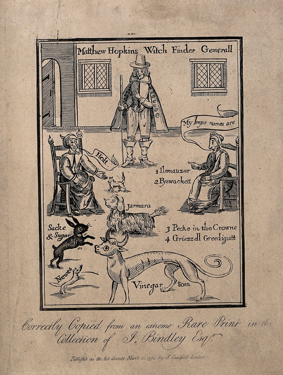
Matthew Hopkins, the self-styled Witchfinder General, with two accused women naming their animal familiars. Etching published by J. Caulfield in London in 1792, after an earlier woodcut. Wellcome Collection, Public Domain Mark.
The great European witch hunt was one of the most lethal episodes of persecution in the early modern world, and few images sum it up as neatly as a map. On October 17, 2026, the public X account of Simon Kuestenmacher, @simongerman600, posted one, and the post has since drawn more than 54,000 impressions.
The map, headed “Major areas of witchcraft persecution in western, central and northern Europe,” shades the Holy Roman Empire, the Swiss Confederation, Scotland and parts of France in alarming reds and yellows, while Italy, Spain and Ireland sit almost untouched.
The caption on the post drew a simple lesson from the colors, presenting Italy, Spain and Ireland as more enlightened than central Europe. The idea appeals because it fits a familiar picture of reason spreading unevenly across the continent. It also raises a question that historians and economists have been arguing over for decades, one that a large dataset of 43,240 prosecutions now makes it possible to test.
Did people in the pale parts of the map really stop believing in witches?

